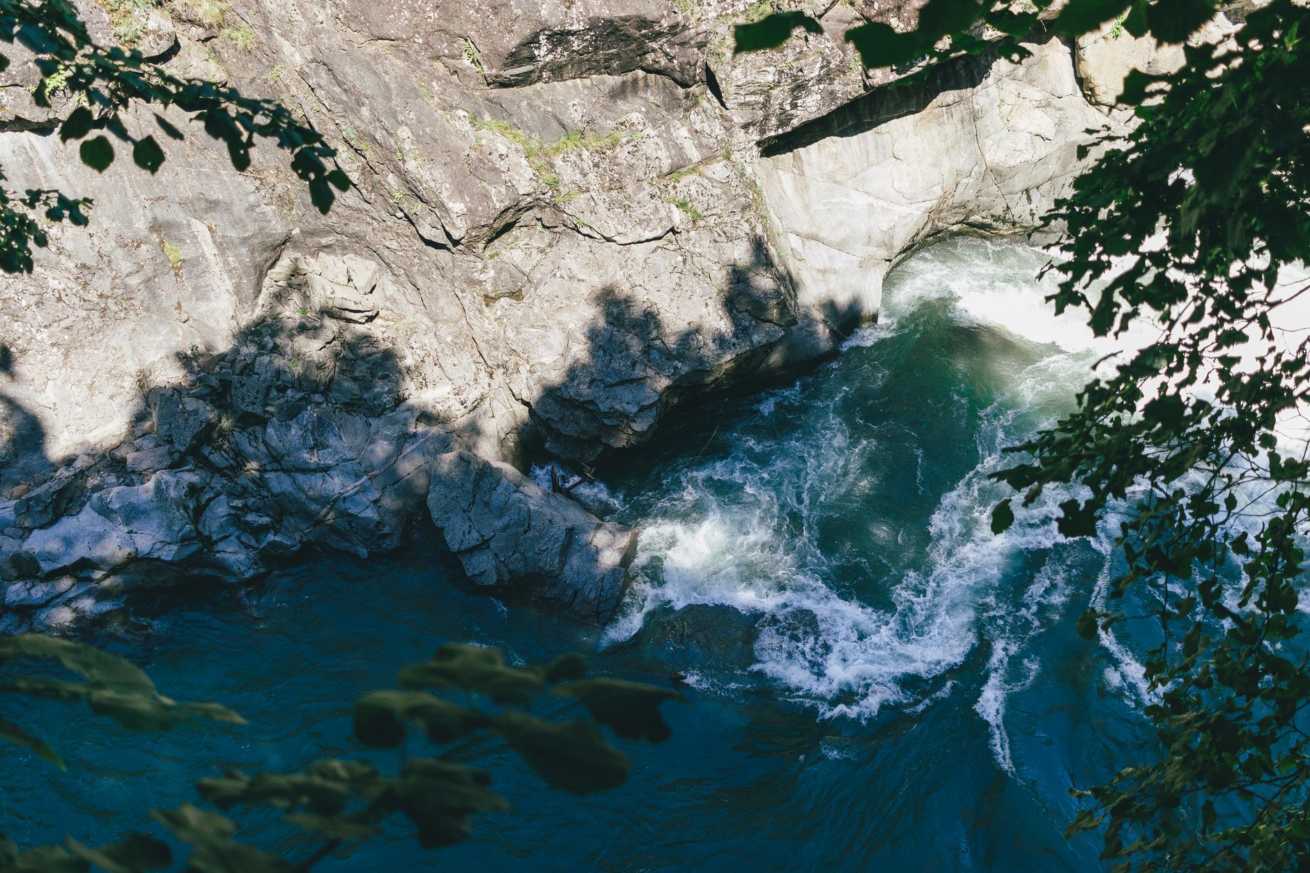
Stand on the Monroe Street Bridge in Spokane and look down. The river churning through that basalt gorge didn't carve it — not in the slow, patient way rivers normally do. What you're seeing is the scar left by one of the most violent flood events in the geological record: the Missoula Floods, a series of catastrophic deluges that periodically rewrote the entire landscape of the Pacific Northwest during the last Ice Age. Understanding what happened here transforms a pleasant urban park into something almost impossible to comprehend in scale.
The Ice Dam That Changed a Continent
Roughly 15,000 to 13,000 years ago, a lobe of the Cordilleran Ice Sheet pushed south into what is now northern Idaho, blocking the Clark Fork River and creating an enormous glacial lake. Geologists call it Glacial Lake Missoula. At its greatest extent, it held a volume of water comparable to Lakes Erie and Ontario combined — an inland sea pooled against a wall of ice in the mountains of western Montana.
Ice dams are inherently unstable. As the lake rose, water eventually worked beneath the glacier, lifting it, and the dam failed catastrophically. The lake drained in a matter of days. The resulting flood swept westward across eastern Washington at speeds estimated in the tens of miles per hour, carrying icebergs, boulders, and enormous volumes of sediment. Then the glacier advanced again, the lake refilled, and the cycle repeated. Geologists believe this happened dozens of times over several thousand years, each flood scouring and reshaping what previous floods had already altered.

As an Amazon Associate, I earn from qualifying purchases.
What the Floods Did to Eastern Washington
Before the floods, eastern Washington was a high plateau of Columbia River Basalt — relatively flat, covered in deep deposits of wind-blown silt called loess, and agriculturally rich. The floods stripped that surface down to bare rock across thousands of square miles, gouging out channels, coulees, and canyons in a matter of days that would have taken rivers millions of years to form through normal erosion. The result is the geological formations known collectively as the Channeled Scablands — a term coined by geologist J Harlen Bretz, who spent decades arguing, against fierce academic resistance, that only a catastrophic flood could explain what he was seeing.
💼 Career Opportunities
Bretz was right, and the Channeled Scablands are now recognized as one of the most striking flood-carved landscapes on Earth. The features visible today — dry waterfalls called coulees, giant current ripples, erratic boulders deposited by floating icebergs, and enormous potholes scoured into solid basalt — are direct evidence of the floods' power.
Spokane as Flood Crossroads
Spokane sat at a critical junction in the flood path. Multiple flood channels converged near the city, and the Spokane River valley became a primary conduit for floodwaters racing toward the Columbia. The deep basalt gorge that Riverfront Park now flanks was not slowly worn down by the gentle Spokane River — it was catastrophically incised by flood pulses carrying more water than the Amazon River discharges in a year. The falls themselves, Spokane Falls, exist because the floods stripped the overlying softer rock away to expose the resistant basalt shelf that the river now spills over.
The parks, paths, and urban amenities of modern Spokane are essentially laid across a wound in the earth's surface. The cliffs, the exposed basalt columns, the peculiar shape of the river channel — none of it makes sense without the floods. The city's founders chose this location partly because of the falls, a natural power source for early industry. The falls exist because of the floods. In a very literal sense, the Missoula Floods built the economic foundation of Spokane.
As an Amazon Associate, we earn from qualifying purchases.
Reading the Landscape: What to Look For
The Gorge and the Falls
From Riverfront Park, the geometry of the basalt gorge is immediately visible. Notice how abrupt and sheer the walls are — this is not the smooth, gradual valley profile of a normal river system. The rock has been plucked away in large blocks, a process called quarrying, driven by the turbulence of flood currents far more powerful than anything seen in modern rivers. Spokane Falls drops over a series of basalt ledges that were exposed and shaped by repeated flood scouring.
Giant Current Ripples
Travel south or west of Spokane into the scablands and you'll encounter landforms that look, from the ground, like low rolling hills. From the air or on a topographic map, they resolve into regular, rhythmic patterns: giant current ripples, formed by sediment deposited by the moving floodwaters. These ripples can be tens of feet high and hundreds of feet from crest to crest — scaled-up versions of the ripples you'd see in a sandy streambed, formed by currents of incomprehensible force.
Erratic Boulders
Scattered across eastern Washington and down into Oregon and the Willamette Valley are boulders of granite and other rock types that have no business being where they are. These are glacial erratics, transported inside icebergs that floated on the surface of the floodwaters and were deposited when the ice melted. Some weigh many tons. Finding a granite boulder sitting on top of Columbia River Basalt in a farm field is a direct, tangible piece of evidence for what happened here.
Dry Coulees and Hanging Valleys
Some of the most dramatic flood evidence lies in the coulees — enormous dry canyons that once carried floodwaters but now hold little or no permanent stream. Grand Coulee is the most famous, a canyon roughly 50 miles long and up to 900 feet deep carved almost entirely by the floods. The Palouse Falls canyon, where the Palouse River now drops over a spectacular waterfall, was incised by flood overflow cutting a new path across the plateau. These features are accessible to anyone willing to make the drive, and they offer a visceral sense of the floods' scale that no amount of reading can fully convey.
J Harlen Bretz and the Long Road to Acceptance
The scientific story of the Missoula Floods is itself remarkable. Bretz, a University of Chicago geologist, began publishing his catastrophic flood hypothesis in the 1920s after extensive fieldwork in eastern Washington. The geological establishment of the time was deeply committed to uniformitarianism — the principle that geological change happens slowly and gradually — and a single catastrophic flood seemed to smack of biblical thinking rather than rigorous science. Bretz faced sustained, sometimes personal criticism from leading geologists for decades.
He kept working. As evidence accumulated — including the identification of Glacial Lake Missoula by geologist Joseph Thomas Pardee as the flood's source — the scientific consensus gradually shifted. By the time Bretz received the Penrose Medal, geology's highest honor, in 1979, he was in his late 90s. He reportedly said he outlived all his critics. The Missoula Floods are now a standard chapter in geology textbooks, and the Channeled Scablands have been designated an Ice Age Floods National Geologic Trail.
The Human Dimension: Indigenous People and the Floods
The Missoula Floods ended roughly 13,000 years ago, and the precise timing of human arrival in the Pacific Northwest is still an active area of research. The Spokane Tribe, the Coeur d'Alene Tribe, the Colville Confederated Tribes, and other Indigenous peoples of the Inland Northwest have deep connections to this landscape. Some oral traditions describe great floods, though interpreting those traditions in relation to geological events requires care and respect for their cultural context rather than reduction to simple historical data points. What is clear is that the peoples who have lived in this region for thousands of years have understood this landscape intimately — its rivers, its basalt, its strange flat-topped hills and sudden canyons — long before Western geology had a framework to explain it.
Exploring the Flood Landscape Yourself
The Ice Age Floods National Geologic Trail connects dozens of sites across Washington, Oregon, Idaho, and Montana, and much of it is accessible by car along existing highways. The trail is less a formal path than a network of interpretive sites — overlooks, park stops, museum exhibits — that collectively tell the flood story. If you're drawn to exploring the region's dramatic basalt terrain on foot, the area's hidden hiking trails through coulees and scabland plateaus offer some of the most geologically rich walking anywhere in North America.
Start in Spokane's Riverfront Park and look at the gorge with new eyes. Drive south to Turnbull National Wildlife Refuge, where flood-scoured potholes now serve as wetlands. Continue to Palouse Falls State Park, where the river drops into a flood-carved amphitheater of columnar basalt. Head west to Dry Falls, where a waterfall roughly three and a half miles wide and four hundred feet tall once roared during peak flooding — dwarfing Niagara Falls by almost any measure. Each stop is another piece of the same catastrophic story.
Why This Matters Beyond Geology
Understanding the Missoula Floods reframes everything about the Inland Northwest. The reason eastern Washington's wheat country has the soil it does — rich loess deposits in the Palouse hills that escaped the worst scouring — is the floods. The reason Spokane has a waterfall at its center is the floods. The reason the Snake and Columbia River systems have the canyon profiles they do is largely the floods. Even the wines of Washington State owe something to flood geology: the gravelly, fast-draining soils of the Columbia Valley wine regions were deposited by flood processes.
The Missoula Floods are a reminder that geological time occasionally lurches rather than creeps — that landscapes we treat as permanent backdrops to human life are themselves the residue of violent, almost unimaginable events. Walking through Riverfront Park, hearing the falls, watching the river move through its basalt walls, you are standing inside a catastrophe that ended thousands of years before anyone built a city here. The city is the latest layer. The floods are the foundation.